Town guidesQueens
Bayside, NY
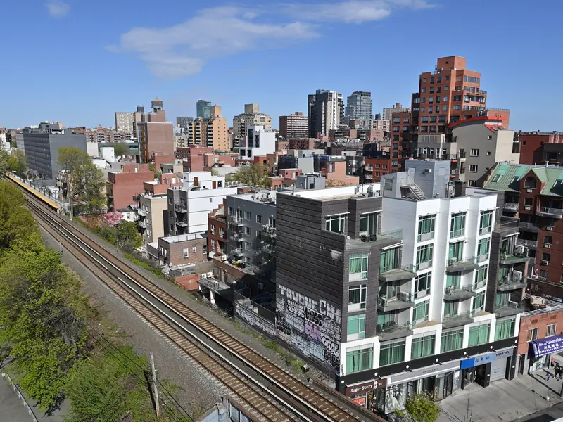
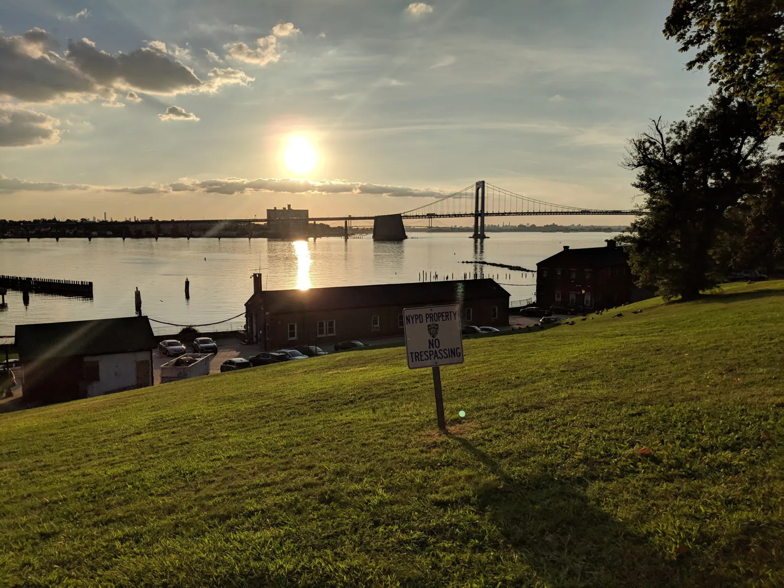
A northeast Queens neighborhood on Little Neck Bay, with shops along Bell Boulevard and Fort Totten Park on the water. The LIRR Port Washington Branch stops at Bayside, and express buses run to Manhattan. Housing is mostly single-family homes, garden co-ops and low-rise apartments.
Bayside
What is nearby
Places within about a mile of the town center, nearest first.
Schools
- Bayside High School0.3 mi
- P.S. 41Q - The Crocheron School0.3 mi
- P.S. 159Q0.4 mi
- Sacred Hearts School0.5 mi
- I.S. 25Q - Adrien Block Intermediate School0.7 mi
- P.S. 130Q0.7 mi
Names and distances only. For school information, attendance zones and enrollment, check with the school district directly.
See the official school report card ↗Parks
- Raymond O'Conner Park0.2 mi
- Bayside Athletic Field0.5 mi
- Crocheron Park0.5 mi
- John Golden Park0.6 mi
- Francis Lewis Playground0.7 mi
- Veteran's Memorial Triangle0.7 mi
Things to do
- AMC Bay Terrace 60.7 mi
- Queens Public Library at Bay Terrace0.7 mi
- Queens Public Library at East Flushing0.9 mi
- Queens Public Library at Auburndale1.1 mi
Restaurants
- Neptune Diner0.2 mi
- The French Workshop0.3 mi
- Thai 1010.4 mi
- D'Alessandno's Corner Grill0.4 mi
- Sabor Guarani0.4 mi
- Press 1950.5 mi
Transit
- Bayside0.5 mi
- Auburndale0.8 mi
- Bell Boulevard & 35th Avenue0.2 mi
- Bell Boulevard & 33rd Road0.2 mi
- Bell Boulevard & 33rd Avenue0.3 mi
- Bell Boulevard & 38th Avenue0.3 mi
Groceries
- Stop & Shop0.8 mi
- Foodtown1 mi
- H Mart1.1 mi
Map of Bayside
Get new listings and guides for Bayside
A short email when we add new guides, and new home options when you ask for them. Free. Unsubscribe anytime.
Official links
Looking in Bayside?
Tell us what you want. A vetted local agent who works Bayside sends you options within 24 to 48 hours. Free for you.
Send me options