Town guidesBrooklyn
Bay Ridge, NY
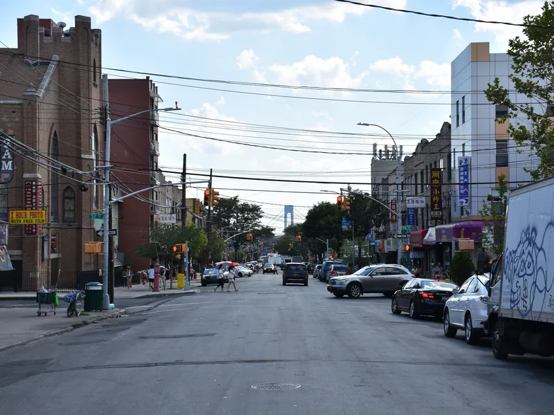
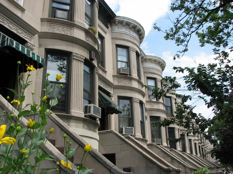
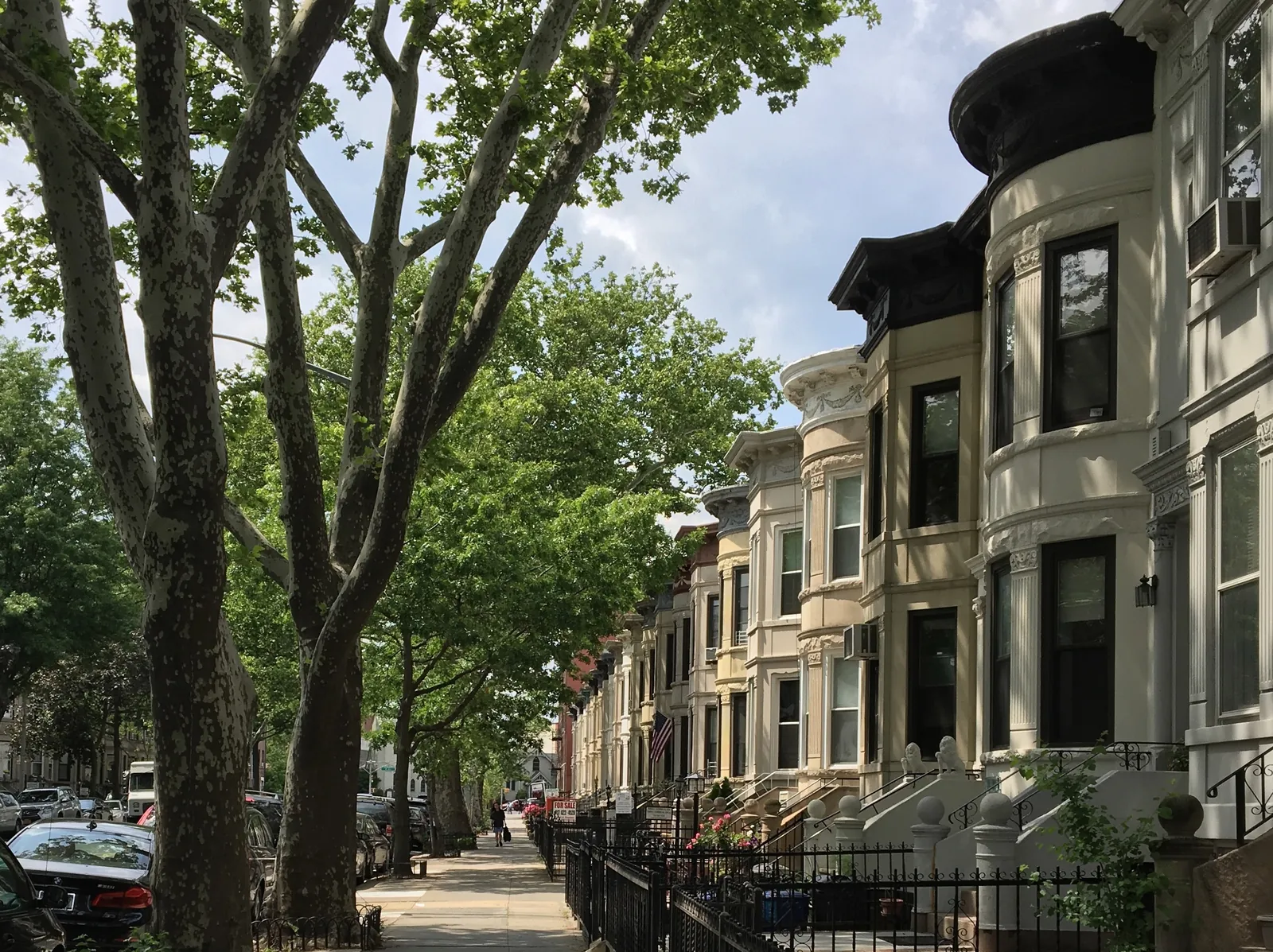
A Brooklyn neighborhood along New York Harbor, with Shore Road Park and a waterfront path that runs under the Verrazzano-Narrows Bridge. The R train runs under 4th Avenue, and NYC Ferry stops at the Bay Ridge pier. Housing includes co-op buildings, rentals, limestone rowhouses and some detached homes.
Bay Ridge
What is nearby
Places within about a mile of the town center, nearest first.
Schools
- P.S. 102 - The Bay View SchoolPublic0.2 mi
- P.S. / I.S. 30 - The Mary White Ovington School0.2 mi
- Gateway City Academy0.3 mi
- High School of Telecommunication Arts and Technology0.4 mi
- P.S. 170 - Ralph A. Fabrizio School0.5 mi
- Xaverian High School0.5 mi
Names and distances only. For school information, attendance zones and enrollment, check with the school district directly.
See the official school report card ↗Parks
- Steadman Square0.4 mi
- Russell Pedersen Playground0.6 mi
- Leif Ericson Park0.6 mi
- Fort Hamilton Athletic Field0.6 mi
- John Allen Payne Playground0.6 mi
- Owl’s Head Park0.6 mi
Things to do
- Brooklyn Public Library0.2 mi
- Stand4 Gallery and Community Center0.2 mi
- Alpine Cinema0.4 mi
- PrintSpace0.5 mi
- The Gingerbread House0.6 mi
- Creative Color Palette0.8 mi
Restaurants
- Coszcal de Allende0.1 mi
- Starbucks0.1 mi
- Bagel Schmagel0.1 mi
- Mint Bay0.1 mi
- Piccante0.1 mi
- Mikawa0.1 mi
Transit
- 77th Street0.2 mi
- Bay Ridge Avenue0.3 mi
- 86th Street0.6 mi
- NYC Ferry - Bay Ridge0.8 mi
- 59th Street0.9 mi
- 8th Avenue0.9 mi
Groceries
- Key Food0.1 mi
- 5 de Mayo Food Market0.2 mi
- C-Town0.2 mi
- J & C Market0.3 mi
- The Food Emporium0.3 mi
- Pineapple Farm0.3 mi
Map of Bay Ridge
Get new listings and guides for Bay Ridge
A short email when we add new guides, and new home options when you ask for them. Free. Unsubscribe anytime.
Official links
Looking in Bay Ridge?
Tell us what you want. A vetted local agent who works Bay Ridge sends you options within 24 to 48 hours. Free for you.
Send me options